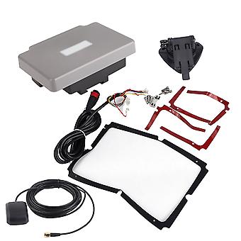
Transponder Combo Navigator,7in Navigation Chart Plotter GPS Navigation GPS Chart Plotter Rapid Response
GRATIS Levering
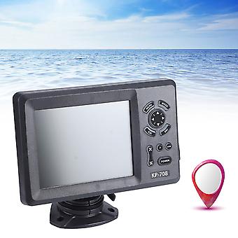
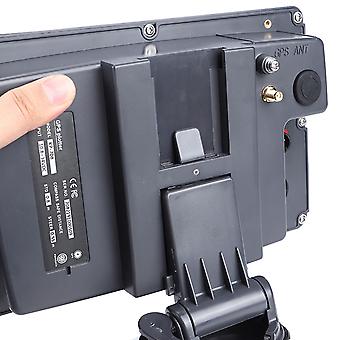
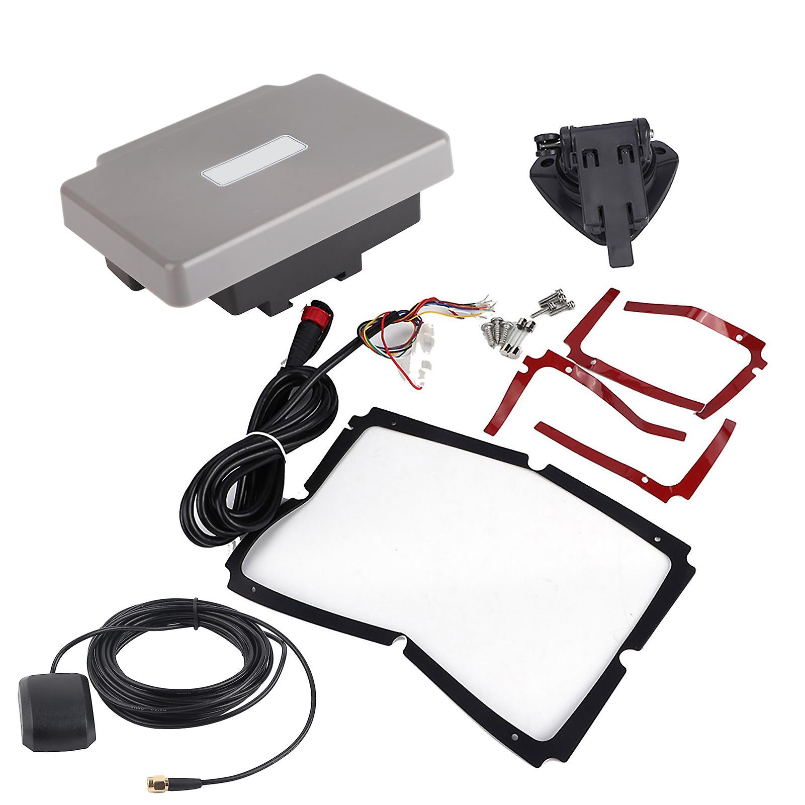
Transponder Combo Navigator,7in Navigation Chart Plotter GPS Navigation GPS Chart Plotter Rapid Response
- Brand: Unbranded
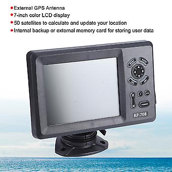
Transponder Combo Navigator,7in Navigation Chart Plotter GPS Navigation GPS Chart Plotter Rapid Response
- Brand: Unbranded
14-dages returpolitik
14-dages returpolitik
Betalingsmetoder:
Beskrivelse
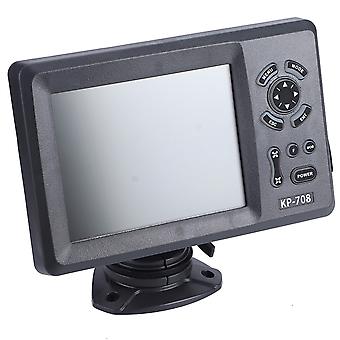
Transponder Combo Navigator,7in Navigation Chart Plotter GPS Navigation GPS Chart Plotter Rapid Response
- Brand: Unbranded
- Kategori: GPS
- Fruugo ID: 278691211-619782560
- EAN: 9797733519282
Levering og returnering
Sendt inden for 10 dage
-
EXPRESS: GRATIS - Levering mellem kl tir. 06 januar 2026–ons. 07 januar 2026 - GRATIS - Hurtigste
-
STANDARD: GRATIS - Levering mellem kl tir. 13 januar 2026–tir. 20 januar 2026 - GRATIS
Afsendes fra Kina.
Vi gør vores bedste for at sikre, at de produkter, du bestiller, leveres til dig fuldt ud og i henhold til dine specifikationer. Skulle du dog modtage en ufuldstændig ordre eller andre ting end dem, du bestilte, eller der er en anden grund til, at du ikke er tilfreds med ordren, kan du returnere ordren eller produkter inkluderet i ordren og modtage en fuld refusion for varerne. Se fuld returpolitik